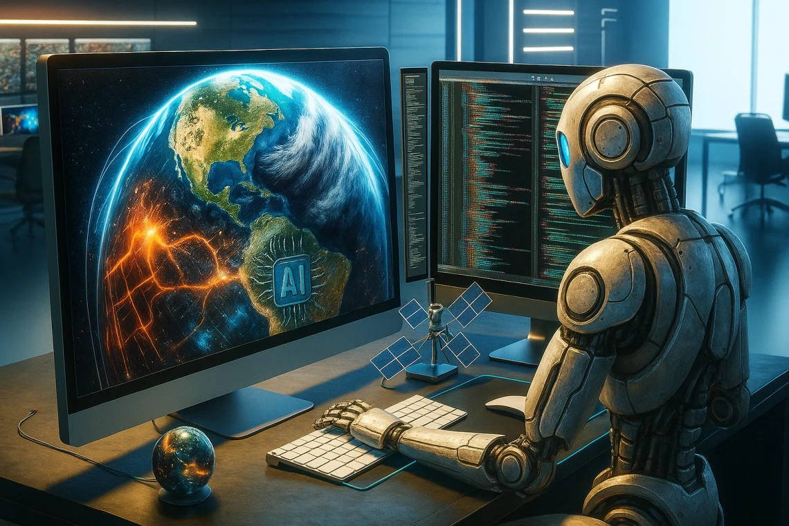
Geospatial AI

When
This session will walk through a complete machine learning workflow from getting a pretrained model, to zero-shot predictions, to image labeling and training. Several open-source tools will be used including Data-to-Science, jupyter notebooks, pytorch, github, and Huggingface.
To follow along, please see the pre-session setup instructions [here].
The following two sessions will be more technical and guide attendees through hands-on examples of GeoAI technology in practice. Together, we will 'vibe code' our way through Google Earth Engine, QGIS, and run through a ML Vision workflow using a state-of-art cloud computer Jetstream2. Following along during the technical sessions will require some pre-workshop setup.
The series is FREE and open to all University of Arizona personnel and is tailored for graduate students, postdocs, and early career faculty looking to expand their geospatial skills. Basic knowledge of scripting languages (i.e., python) and some prior geospatial experience will be helpful.
As we explore these topics together, I hope it will spark curiosity and wonder, but also appropriate caution. As our AI systems are getting more powerful and more autonomous, it's important that we integrate them into our current workflows with thought and care.
